


-
-
-
About
Introduce to Upazila
History & Tradition
Geography & Economics
-
Upazila Porishod
About Upzila Porishd
About Budget
উন্নয়ন পরিকল্পনা বিষয়ক
মাসিক সমন্বয় সভার রেজুলেশন
উপজেলা কমিটির সভার রেজুলেশণ
-
About
About Organogram
Service & Others
-
Municipality
About Municipality
-
Govt. Office
Health Related
Security & Discipline Affairs
ICT Offiice
Agriculture & Food
Upazila Land related Office
Human Resources
Education and Culture
-
Different Institutions
Educational Institutions
-
e-Services
National E-Service
Others E service
- Gallery
- Bijoy Phool
-
-
-
About
Introduce to Upazila
History & Tradition
Geography & Economics
-
Upazila Porishod
About Upzila Porishd
About Budget
উন্নয়ন পরিকল্পনা বিষয়ক
মাসিক সমন্বয় সভার রেজুলেশন
উপজেলা কমিটির সভার রেজুলেশণ
-
About
Upazilla Nirbahi Officer
About Organogram
Service & Others
-
Municipality
About Municipality
-
Govt. Office
Health Related
Security & Discipline Affairs
ICT Offiice
Agriculture & Food
Upazila Land related Office
Human Resources
Education and Culture
-
Different Institutions
Educational Institutions
-
e-Services
National E-Service
Others E service
-
Gallery
Activities
-
Bijoy Phool
বিজয় ফুল তৈরির কৌশল
বিজয় ফুল প্রতিযোগিতার থিম সং
বিজয় ফুল’, প্রতিযোগিতা, ২০১৯-এর সমন্বয় কমিটির ১ম সভার কার্যবিবরণী।
‘বিজয় ফুল’ প্রতিযোগিতা, ২০১৯-এর গাইড লাইন।
বিজয় ফুল প্রতিযোগিতা, ২০১৯-এর প্রচারণামূলক ভিডিও
বিজয় ফুল প্রতিযোগিতা, ২০১৯-এর কমিটিসমূহের বাজেট
Geographic contact
|
Volume |
308.77 kilometers |
Government Primary School |
135 |
|
Total population |
4.59 lakhs |
Government Medical College |
03 |
|
East |
2.39 million |
Government college |
2 |
|
Ladies |
2.2 million |
Non-government college |
05 |
|
Population density |
1487 people / BKK |
Private college |
44 |
|
Municipality |
01. |
Private moods |
25 |
|
Union Council |
14th |
Ebtedayamadrasa |
21 |
|
Village |
112 |
Kindergarten |
17 |
|
literacy rate |
56.78% |
Private Sector: Primary school |
26 |
|
Hat Bazaar |
26 |
CommunityPhilichy |
14th |
|
NGOs |
20 |
Village population |
122 |
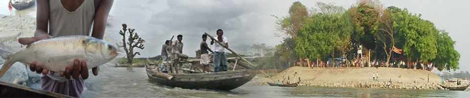
Geographical location of Chandpur Sadar upazila Size: 308.77 km, Total number: 4.59 lakh Male-2.29 lakh, Female-2.22 million
Matlab north and south upazila on the north, Faridanj and Haimchar in the south, Hajiganj upazila on the east, Sheratpur district on the west.
.jpg)


Planning and Implementation: Cabinet Division, A2I, BCC, DoICT and BASIS
Technical Assistance:
![]()
Developed By:
